Rio Blanco (Cautín)

Kurt Casey
The Rio Blanco is an easy access, class 3 run flowing off the snowfields on the southern flank of Volcan Tolhuaca.

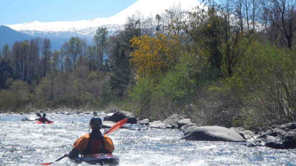
Tolhuaca Volcano view from put in
The run is best done during peak spring runoff or after extended periods of heavy rain. The water is ice cold. It is perhaps the only run in Chile where I would suggest poggies or gloves.

Mellow rapids at put in
To reach the take out in from Curacautín go a few kilometers east towards the Argentine border and stop at Puente Blanco where the river passes underneath the bridge.
To reach put in go 200 meters towards the east and turn on road towards Laguna Blanca. Go 6 km then turn left into Fundo Los Prados. the road meanders around and reaches a wooden bridge over the river in another 1 km.
The 6 km stretch of river passes 2 bridges on route and numerous islands. The river is basically one continuous class 3 rapid but the best concentration of whitewater is in the first 2 km.
We ran the river in mid November with flow estimated at 600 CFS. The river drops 150 meters over 6 km with average gradient of 25 mpk or 125 FPM.
Note: you can turn the trip into a longer run by continuing to alternative takeouts downstream. 5 KM downstream you pass optional takeout at Puente Trahuico which is on the Interlagos road. 9 more km downstream one can takeout at Puente Rariruca (see description for Rio Dillo for directions to here) on the Cautín. running this complete stretch would make for a 20 km run. Along this additional stretch the river would grow in volume with additional flow of tributaries Negro, Amantible, Dillo and eventually Cautín.
I would recommend a 1:50,000 scale topo map of the area titled Curacautín G-063
Other nearby rivers: Quepe, Truful Truful, Dillo, Captren, Blanco del Sur, Calbuco and Cautín.

