
Rio Bullileo

Kurt Casey
The rivers name is taken from Mapundungun language and means river of scales which sounds strange until you realize that the river is a tributary of the Longaví which in same language means Head of the serpent.
This run is via a dam release in Chile´s 7th region so often runs well into summer (until the lake is too low) and also runs with with natural flow in the winter months.
The Bullileo River is an important source of water for the region, providing irrigation for agriculture and hydroelectric power. It is also home to a diverse array of plant and animal life, including several species of fish and birds. In recent years, the Bullileo River has faced challenges due to increased demand for water and potential threats from development and pollution.
Despite these challenges, the Bullileo River remains a vital resource for the people and ecosystems of the Los Ríos Region. Efforts are being made to protect and preserve the river, including the creation of conservation areas and the implementation of sustainable water management practices.

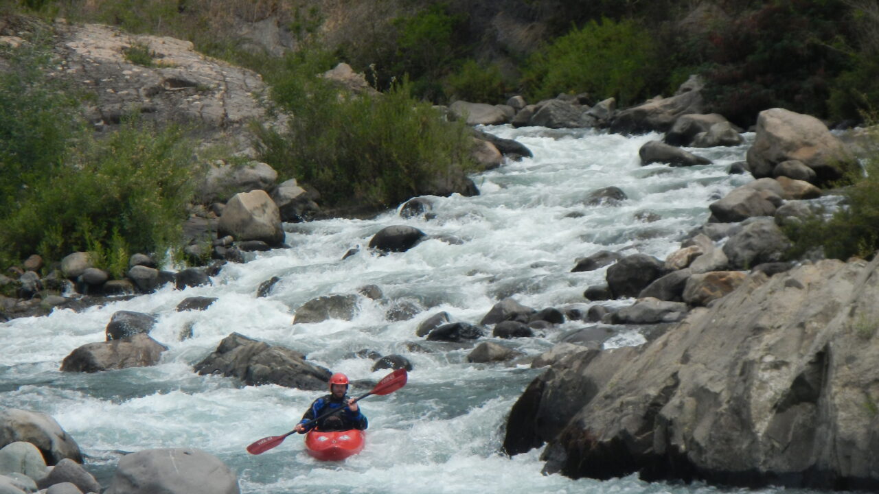
Lower Bullieo just above Longaví confluence
Directions: Take the paved road from Parral and it is 47 KM to put in just below the discharge of the damm on Embalse Bullileo. There is a Caribinero station close to damm and soon after that a parking area where you can leave vehicle, shoulder boat and head down to the river. We put on at end of a soccer field about 150 meters below the dam discharge.
Nathan Sullivan Lower Bullileo
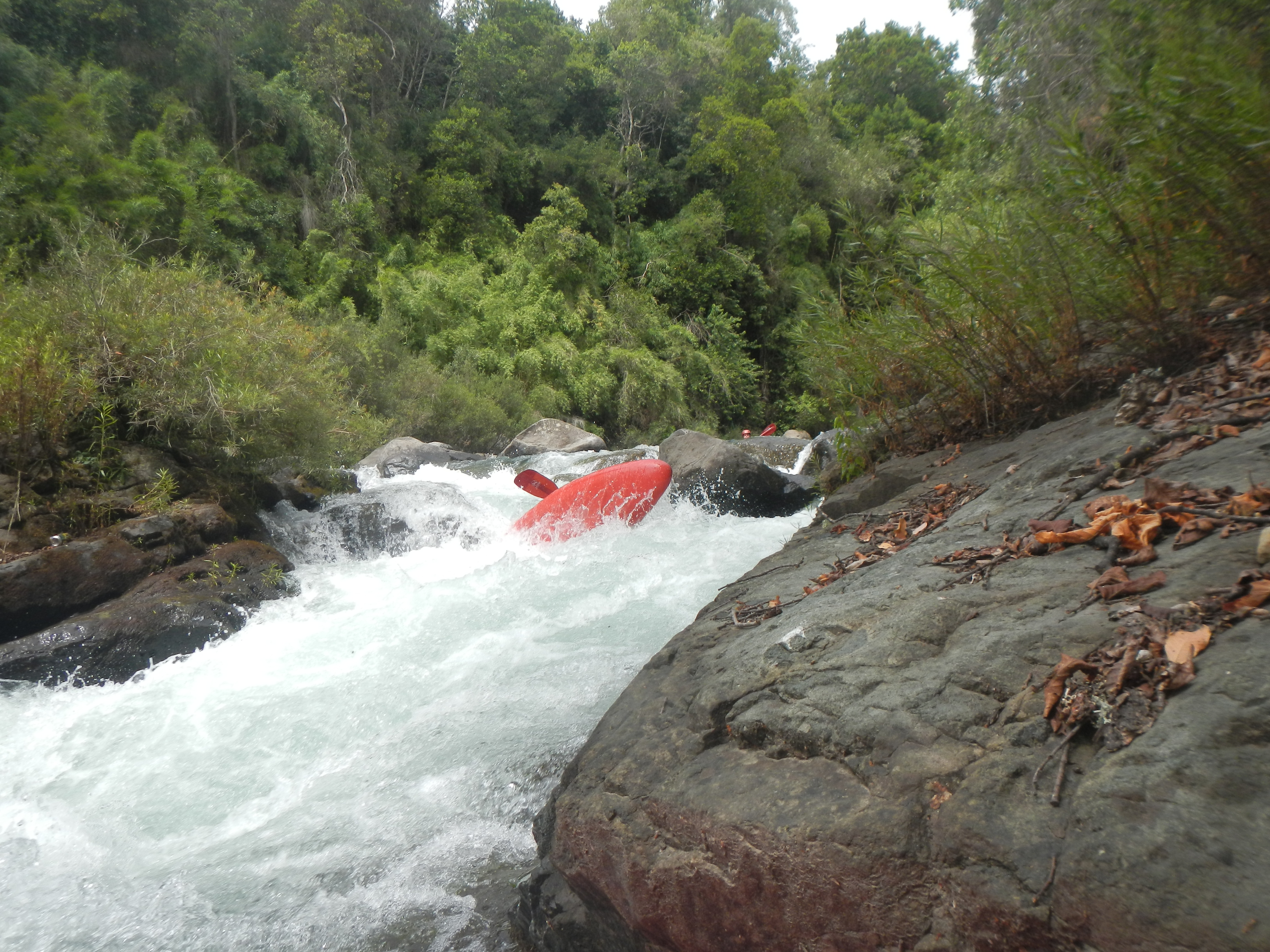
After putting on there is immediately 2 km of very steep creeking which subsides at Puente Avejares. From there the river is very mellow in its 5.0 km middle section passing Puente Las Tiendas 1 km further downstream and a river gauge station 900 meters after that at 530 meters elevation. Just above Puente Bullileo the river again picks up steam for its final plunge into the Longaví…We took out at the gauging station (471 meters above sea level) 9.5 KM downstream from put in on the road back to Parral.

Fields Marshall Upper Bullileo
Other rivers in area include
- Longaví
- Achibueno
- Perquilaquen
- Ñuble
- Put in elevation 590 meters?Take out elevation 471 metersTrip length 9.5 KMAverage Gradient 12.72 m/km or 60 FPMGPS points for put in at base of Embalse , 36.31°S, 71.4° 590m s.n.m
GPS points for take out -36.23S, -71.49
Too map Bullileo F-093