
Rio Cachapoal (Upper)

Kurt Casey
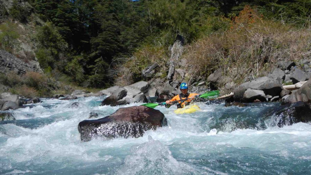
The upper roars through a chiquitito box canyon 2.5 km below the put-in in Reserva Nacionál Río de Los Cipreses. House-sized rocks that tumbled down from adjacent talus slopes create terminal hydraulics at high water above this seething cauldron of whitewater. The unportagable slot is 2-3 m wide, and no more than 100 m long. It must be reconnoitered prior to a descent. Failure to do so is courting disaster.
I know of two bailouts and no successful completions on the Upper Cachapoal. One by Lars Holbek, Eric Magneson, and Mark Allen in 1985; the other by Greg Moore and Jerry Kaufman in 1988. From their tales of misery, be assured that climbing out of the steep, thorny, chaparral-choked canyon is an ordeal that you will regret. Only attempt this run at low water.
From Rancagua, 87 km south of Santiago, drive 22 km east on the paved Carretera del Cobre. Just before entering Coya’s “Zona Urbana”, turn off the pavement onto a gravel road towards Reserva Nacionál Río de Los Cipreses. Drive past Termas de Cauquenes¬—elegant, pricey, and recommended—16.5 km to the park. Check in at headquarters to request permission and the key to enter the “Zona de Pumas”.
To scout the canyon, stop at Sector Ranchillo and hike down an obscure trail on the upstream side of the campground. You’ll have to ease over the edge on belay to peer into its depths. Afterwards, if you’re still interested, continue on to the put-in at Potrerillos de Maitenes a few kilometers upstream. Hike up to the top of one of the hills for a view to get oriented then find a trail down to the confluence with the Río de Los Cipreses confluence (1045 m) . To find the take-out, backtrack 11 km to the Sector Ranchillo-5 km sign. From this junction, turn in the opposite direction. Follow the switchbacks 1 km down to the river and Bocatoma Cachapoal elevation 910 meters.
This big, cold and nasty 8 km run has yet to be completed. If you want to give it a go come in at absolute minimum flows of late March or April when river levels drop to a potentially manageable flow range of 750 to 1000 CFS which still make this a class V•V+ run with average gradient of 90 FPM. At spring/summer flows which exceed 10,000 CFS this is a punishing deathtrap.
Topo map titled Río Cortaderal
Note: New dams are being constructed at time of this writing Oct 2009. It is unclear how the surrounding roads and rivers will be affected so proceed with caution and do your homework.
Other nearby rivers include: Río de Los Cipreses, Pangal, Rio Clarillo, and the Tinguiririca