
Rio Clarillo (Tinguiririca)

Kurt Casey
This description was written by Greg Moore
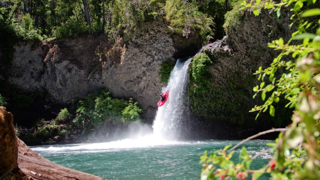
The Clarillo’s clear water, fun class III pool-drop rapids, and lack of flat water make for an enjoyable run. This small drainage only has boatable flows in the spring when the desert is in bloom. For the ambitious boat hiker, numerous other clear water tributaries of the Tinguirririca beckon upstream.
From San Fernando, 132 km south of Santiago, drive east approximately 30 km up the Tinguiririca drainage to the confluence with the Clarillo. Park your vehicle (elevation 665 meters) and try to rent mules from the locals who live near the Rio Tinguiririca confluence for the 4 km hike upstream.. Put in elevation is 730 meters.
Ideal flows are 600 to 800 CFS and best found in Spring and summer months. Average gradient is 16 mpk or 85 FPM
Topo map titled Río Clarillo