Rio Curacalco

Kurt Casey
A Native Mapuche word perhaps meaning ¨rock magic¨ Cura-rock, Calcu-witchcraft
Located in the comuna de Cunco, Region de la Araucania, Chile´s 9th region… A low elevation run flowing off the north western flank of the permanent snowfields of Nevados de Solipulli with adequate water levels in the winter-early spring months from August to mid October or after a period of several days of substantial rain. This river is a tributary of the Rio Allipén.

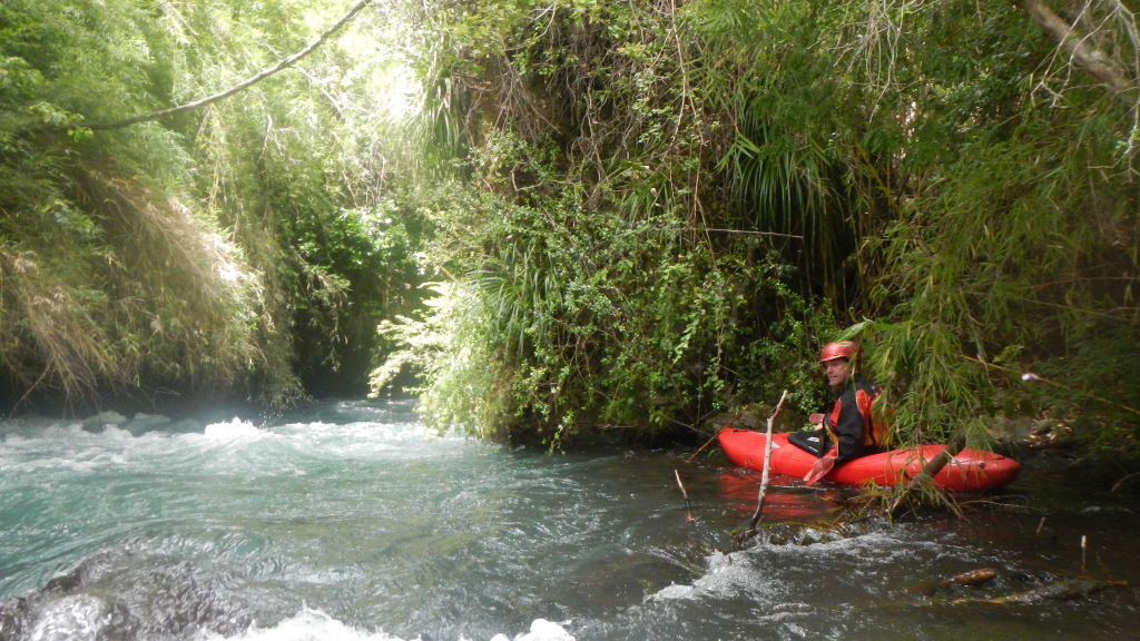
Typical boulder garden style rapids
To reach the river from Temuco on ruta 5 take the paved road east 59 km to Cunco or from Pucon you reach Cunco easiest via the paved road from Villarrica to Freire 55 km then paved road 57 km to Cunco.
Once in Cunco go east 9.1 km and turn right at sign to Curacalco. Continue 2.4 km to the T intersection passing Allipén river bridge en route. Turn right and in 1.3 k you come reach a fork in the road. Go right and after a few hundred meters you come to a bridge over the Curacalco. The river is braided here so continue to the second bridge and make this your takeout.. Return to previous fork in road and head upstream 4 km to the suspended bridge over the river. It is possible at this point to get to river level, but due to the falls landing in the cave rapid immediately beneath the bridge, you should shoulder boats and head a few hundred meters downstream to find a way to get into the canyon (it is real bitch!!) The reward will be an un-run class 5 stretch with 3 significant rapids. Once you drop in there is no portaging or turning back so scout carefully before committing. We spent 3 hours scouting on our first descent and understood each of the 3 rapids and where to go but we simply gave up on trying to find a way down to the river. I am sure there is a way with rappelling being the last option…
As an alternative return the car about 1 km downstream to just after the second farmhouse. From here there is one gate to cross and a grassy road to the river.
From this point down the river is a fun, continuous 250 FPM boulder garden. We had low flow of around 200 CFS on our Nov10, 2011 first descent but it was not scrappy until 2 km downstream where a piscicultura is taking water from the river. Ideal flow would be 300-500 CFS
If you put in near the bridge elevation 570 meters, the first km will be a canyon with average gradient in excess of 70 m/km then it tapers out to 50 m/km for 2 km and final km at 30 m/km. Takeout bridge is at 370 meters.
put

8 meters falls landing in Cave immediately under bridge

First Drop in canyon stretch

Second drop in canyon that feeds right into third

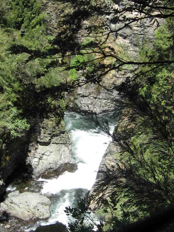
Aerial view of third drop-the 10 meter falls

10 meter drop viewed from below

Local kids near takeout

Entry rapid on Curacalco
IGM Topo map is titled Villa Garcia G-085
GPS coordinates Put-in 38.943329°, 71.872962° Take-out 38.931738°, 71.908976°
Other nearby rivers include Codihue, Calbuco, Truful Truful, Trafampulli and Quepe

