Rio Curaco

Kurt Casey
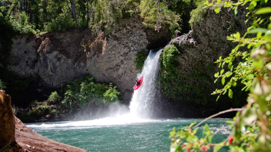
Draining Lago Colico in Chile’s 9th region is a continuous, friendly class 2-3 whitewater river best run in winter or early summer only when lake is full at peak snowmelt. Since the river is lake fed its volume changes very little in summer even after large rainfall. The river is very clear and not so cold. Only dangers are trees on side of river and an occasional strainer. Current is very continuous but no big drops. It is suitable for kayaks, duckies, rafts, shredders, etc.
Lago Colico gets it juice from the Rio Trafampulli (see description on this site) which flows off the south flank of Nevados de Sollipulli and several smaller rivers such as the Namoncahue which come off the Cerros de Quelhue. The river can be run without a topo map but for orientation purposes the 1:50,000 topo is titled Lago Huilipilun 3900-7200 (Lattitude/Longitude).
The river is two hours from Pucon and is best approached from Villarrica on the new paved portion of the Interlagos road to Pedregoso (12KM). From here one turns right and follows interlagos gravel road approximately 40 KM to the north. Follow signs to Cunco and make a right (still ruta interlagos) and go 1 KM to bridge called Puente Pitrunco # 2 at elevation 300 meters. On the north side of the bridge is a campground called Fisquen-Coyam which we used as a put-in. This point is 2 KM below the exit of the lake. If one continues north on same road it is about 17 km until one hits pavement then another 9 km into Cunco (if coming from North come in from Cunco)
To reach the takeout go 1 KM south from the bridge and turn right (west). One takeout point is approximately 7-8 km. There is a small dirt road going to the river soon after the river first becomes visible from the road the serves a cable crossing over the river (elevation 235 meters). Another option is to continue downstream another 6 km to confluence with Allipen river (elevation 180 meters).
Expect the upper stretch to take 1-1/2 hours and an additional hour for the lower. A good flow for running the river is 25-50 cubic meters per second or 750 to 1500 CFS. Average gradient is 8.5 m/km or 45 FPM

