Río El Cañal

Kurt Casey
We were dead tired after many days of nonstop scouting and boating when we crossed Puente Cañal. Draining the glittering heights of Cordon Contreras (2602 m), the Río El Cañal flows out of the westernmost edge of Campo de Hielo Norte. Even though the sight of this milky green, glacial creek tumbling out of the narrow defile looked mighty tempting, we could do no more than stand on the bridge and gaze longingly upriver before finding a more horizontal position out of the brush. Arnd Schaeftlein managed to find the energy to growl, “we have to check it out, it’s our duty,” and took off up the hill. A siesta later, he returned with tales of a narrow canyon and turbulent whitewater.
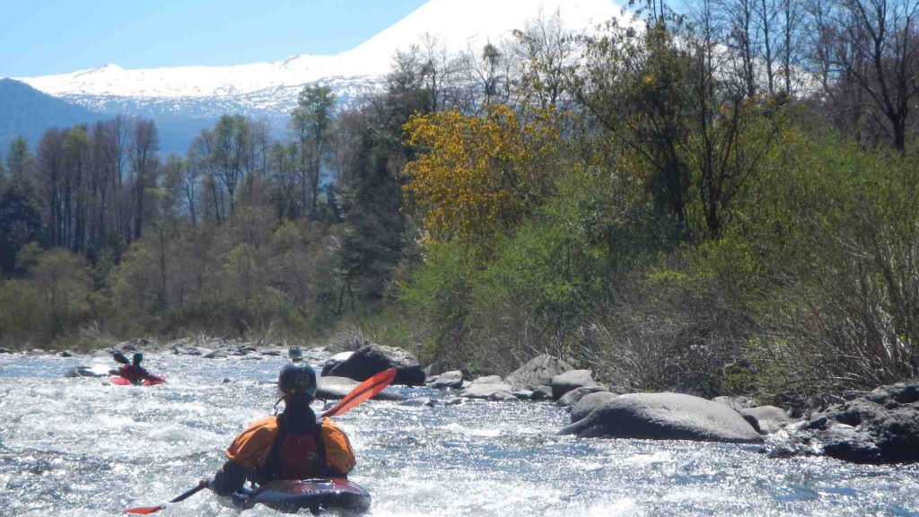
The next morning we lazily hoisted our boats onto our backs and walked up the steep hill on river right. Scouting from the rim for the next 2 km, we came to a small drainage, lowered our kayaks with ropes, and scrambled down to the river.. We paddled downstream, playing in the class IV rapids while boofing over, ducking under, or walking around some logs. The occasional class V drop provided our adrenaline fix. Rounding the last corner, we caught sight of a couple on the bridge who applauded as we floated underneath.
From Puerto Murta, 195 km south of Coihaique, drive south on the Carretera Austral along Bahía Murta passing through Puerto Tranquilo en route. Drive over the El León, and continue to the bridge spanning the Río El Cañal. To find the put-in, hike upstream two hours on top of the rim on river right trying to avoid nasty stickers along the way. When you arrive at a drainage with a slight trickle of flowing water, lower your boat with a rope, and scramble down to the river. Elevation 310 meters.
The 2 km long class IV+•V- has average gradient of 35 mpk or 185 FPM and best run in spring or mid summer with flows of around 700 CFS.
Topo maps titled Chile Chico • Puerto Guadal

